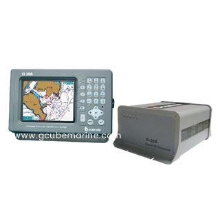
The Automatic Identification System (AIS) is an automatic tracking system used for collision avoidance on ships and by vessel traffic services (VTS).
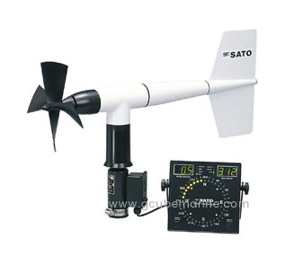
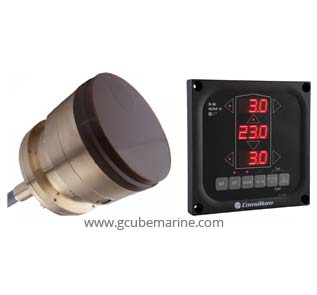
An Anemometer is a device used for measuring the speed and direction of wind, and is also a common weather station instrument
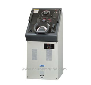
An Autopilot is a system used to control the trajectory of an SHIP without constant 'hands-on' control by a human operator being required.
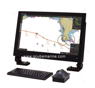
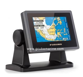
ECDIS is a geographic information system used for nautical navigation that complies with International Maritime Organization (IMO) regulations as an alternative to paper nautical charts.
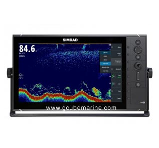
Echo Sounder is a type of sonar used to determine the depth of water by transmitting sound pulses into water.
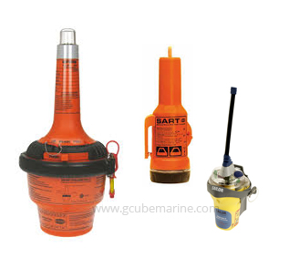
An Emergency Position Indicating Radio Beacon or EPIRB is used to alert search and rescue services in the event of an emergency
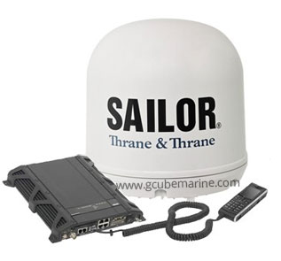
Fleet Broadband is a maritime global satellite internet, telephony, SMS texting and ISDN network for ocean-going vessels using portable domed terminal antennas.
The Global Maritime Distress and Safety System (GMDSS) is an international system which uses improved terrestrial and satellite technology and ship-board radio systems.
Global Positioning System, an accurate worldwide navigational and surveying facility based on the reception of signals from an array of orbiting satellites.
A Gyro Compass is a type of non-magnetic compass which is based on a fast-spinning disc and the rotation of the Earth to find geographical direction automatically.
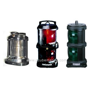
A Navigation light, also known as a running light, is a colored source of illumination on a waterborne vesselused to signal a craft's position, heading, and status.
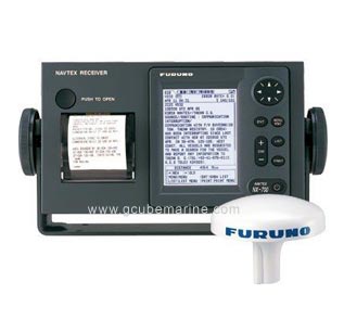
Navtex is an international automated medium frequency direct-printing service for delivery of navigational and meteorological warnings and forecasts, as well as urgent maritime safety information to ships.
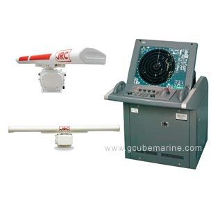
Radar is an object-detection system that uses radio waves to determine the range, angle, or velocity of objects.
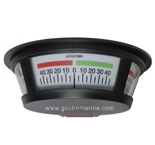
A device used to indicate the present position of the rudder blade, usually fitted in the wheelhouse, bridge wings and engine control room.
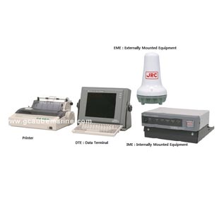
Inmarsat-C is a two-way, packet data service operated by the telecommunications company Inmarsat which operates between mobile earth stations (MES) and land earth stations (LES).
Voyage Data Recorder, A maritime "black box". consisting of a data collecting unit, and a protected storage unit that stores the retrieved data.
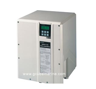
The Doppler Speed Log measures ship's speed by using the Doppler Effect, which is observed as a frequency shift resulting from relative motion between a transmitter and receiver or reflector of acoustic or electro- magnetic energy.
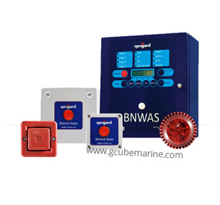
A Bridge Navigational Watch Alarm System, abbreviated BNWAS, is an automatic system which sounds an alarm if the watch officer on the bridge of a ship falls asleep, becomes otherwise incapacitated, or is absent for too long a time.
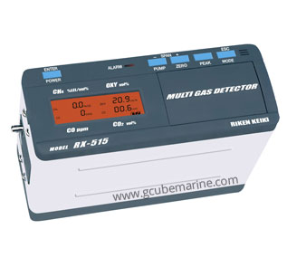
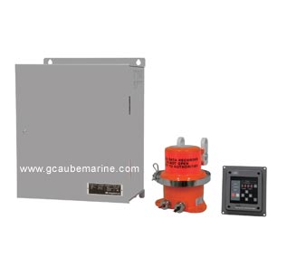
A Gas Detector is a device that detects the presence of gases in an area, often as part of a safety system.
The Magnetron is a high-powered vacuum tube, that works as self-excited microwave oscillator.
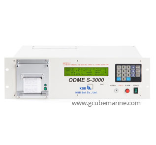
Oil Discharge Monitoring Equipment (ODME) is based on a measurement of oil content in the ballast and slop water, to measure conformance with regulations.

An Overheated Diesel engine can become a source of fire and extreme havoc if periodic maintenance and proper practices are not carried out.
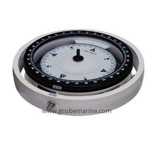
A Magnetic Compass is an instrument used for navigation and orientation that shows direction relative to the geographic cardinal directions
UTI detector is being used in measuring the ullage, the oil-water interface and temperature of cargo in tanks.
Apart from its excellence in maritime industry, G-Cube has indepth experience in software industry. Integrating its knowledge and technology has made G-CUBE, one of the large conglomerate.